Navigation


.png)
Smoke Page
Contents:
-State Smoke Management Plans
-Estimate Fuel Loads
-Evaluate Fuel Consumption and Smoke Emissions
-Advanced Fuel Consumption and Smoke Emissions
-Obtain Current Fire Weather and Smoke Dispersion Information
-Determine Downwind Air Quality Impact
-Determine Smoke Plume Trajectory (forward/backward)
-Find Air Quality Monitoring Information
-Other Smoke Management Resources
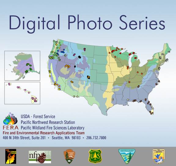 |
Digital Photo Series provides detailed fuel loading information for natural fuelbeds throughout the United States |
Evaluate Fuel Consumption and Smoke Emissions
Use these tools to evaluate site fuel and fuel moisture to produce estimates of fuel consumption and smoke emissions
Advanced Fuel Consumption and Smoke Emissions
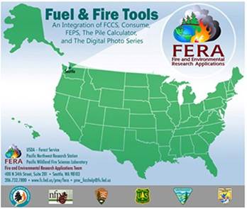 |
Fuel and Fire Tools (FFT version 2.0) is a software application that integrates the Fuel Characteristics Classification System, Consume, FEPS, Pile Calculator, and Digital Photo Series into a single user interface. As the Interagency Fuel Treatment Decision Support System (IFTDSS) evolves, integration of FFT modules is expected |
Obtain Current Fire Weather and Smoke Dispersion Information
 |
National Weather Service offers local fire weather products when user provides a specific location, such as forecasted Ventilation Index, Mixing Height and Transport Winds |
Determine Downwind Air Quality Impact
 |
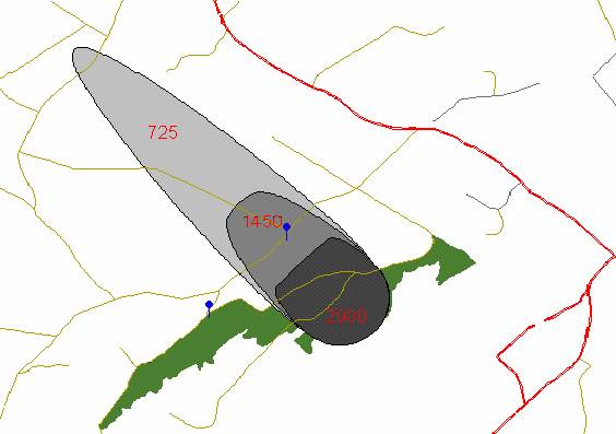
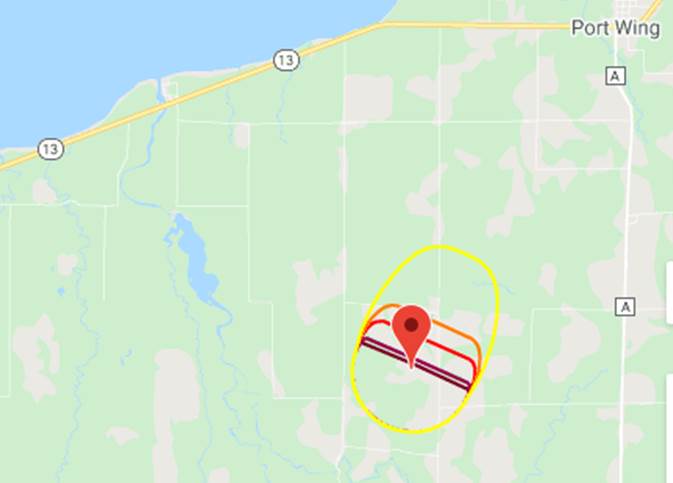
Simple Smoke Screening Tool designed to help identify smoke sensitive targets, not to predict smoke concentrations. Acreage value is used to set the width of the screening grid. Burn location is set by clicking on the map or by entering Lat/ Long. The screening area shown on the map is divided into 2 zones: 1) The first zone – Red - is used to identify critical smoke-sensitive areas and the most probable smoke impact area; 2) The second zone – Yellow - shows an area of less severe smoke impact. |
 |
VSmoke is a detailed planning tool that estimates downwind concentrations of particulate matter at 31 fixed distances, and how far and how well a person may see through the smoke plume at each distance |
 |
VSmoke-Web is a user-friendly tool which produces smoke plume overlays on a map or satellite image that represent expected downwind concentrations of particulate matter relative to the Air Quality Index and potential health impacts |
Bluesky Playground - more advanced and able to account for more details affecting the smoke |
Determine Smoke Plume Trajectory (forward/backward)
AirNow Tech is an EPA tool with a lot of capabilities: trajectories, fire detects, air monitoring data and much more. Go to the Navigator part of the site (the first time entering a username and password will need to be set up) |
Find Air Quality Monitoring Information
Michigan |
||
Minnesota |
||
Wisconsin |
||
Ontario |
Other Smoke Management Resources
 |
Satellite Imagery of Smoke Plumes (Imagery from MODIS, AIRS, MLS and OMI instruments) |
 |
Real-time data collected by temporary smoke monitors |